Photomonitoring
Know Before
Photos capturing changes to the streambanks and channel bed of 12 Mile Creek over an extended period of time can be a useful tool for understanding what’s happening in this dynamic system. Regular photo monitoring, in a standardized manner, records these changes over time.
Get Out The Door
Select a feature of interest to monitor.
Choose an exact location to stand that is safe and where you should be able to return to. The bankfull level, where riparian vegetation growth begins, is a good indicator of how the water may rise.
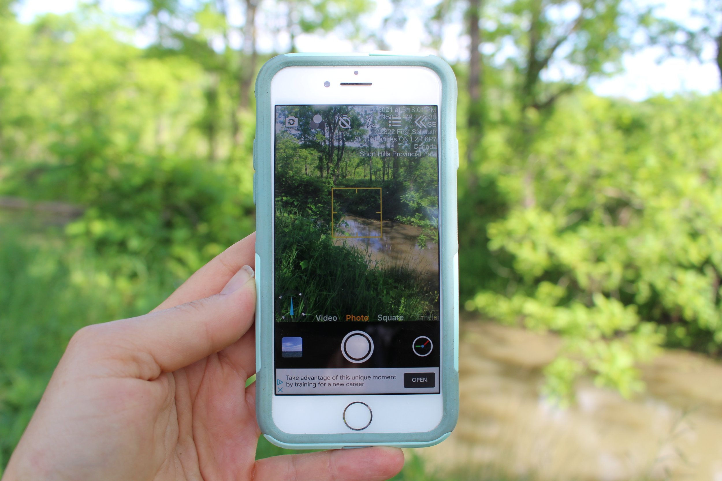
Use the Timestamp camera app or;
Record GPS coordinates
Take a compass bearing to determine the direction you are facing
Hold the camera at a height of about 1m from the ground
(optional) Have someone else hold an upright surveying pole or meter stick
Take photo
Return in future seasons and years.
Share your images with the Niagara Chapter of Trout Unlimited
Think Some More
How have the stream banks changed over time?
How has the stream bed changed over time?
From large trees to herbaceous plants, how has the riparian vegetation changed over time?
Bring Along
meter stick or surveying pole,
compass
GPS
camera